Nawarr Media
Outdoor content specialist · Hiking video, route plans, maps

Content that moves beyondthe screen.

Hiking video, photography, route plans, maps and graphics for tour operators, hiking guides, accommodations and tourist attractions — from filming on the trail through editing to publishing.

What we do

Five areas, one team.

Filming, editing, route plans, maps, graphics and reviews — we are happy to do a single piece, but most clients choose us because everything stays in one pair of hands, from the trail footage to the published content.

SC 02 · FIELD

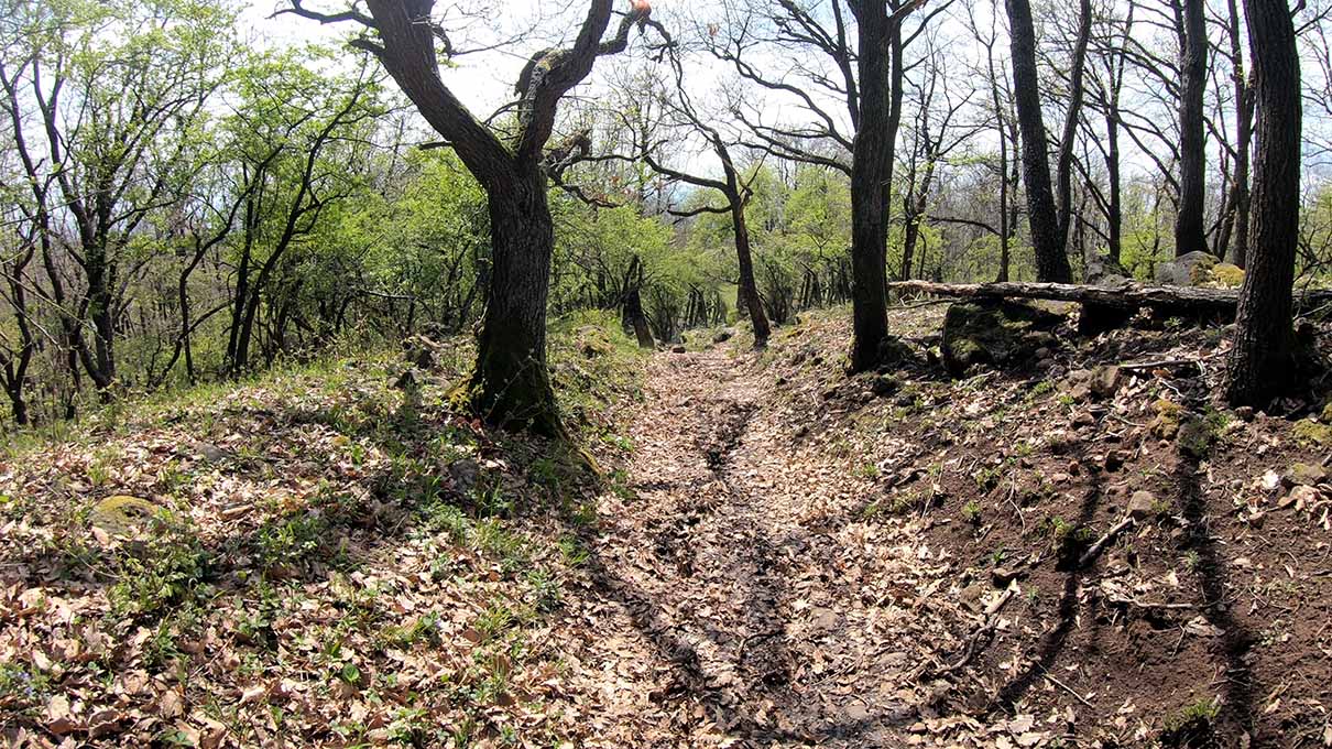
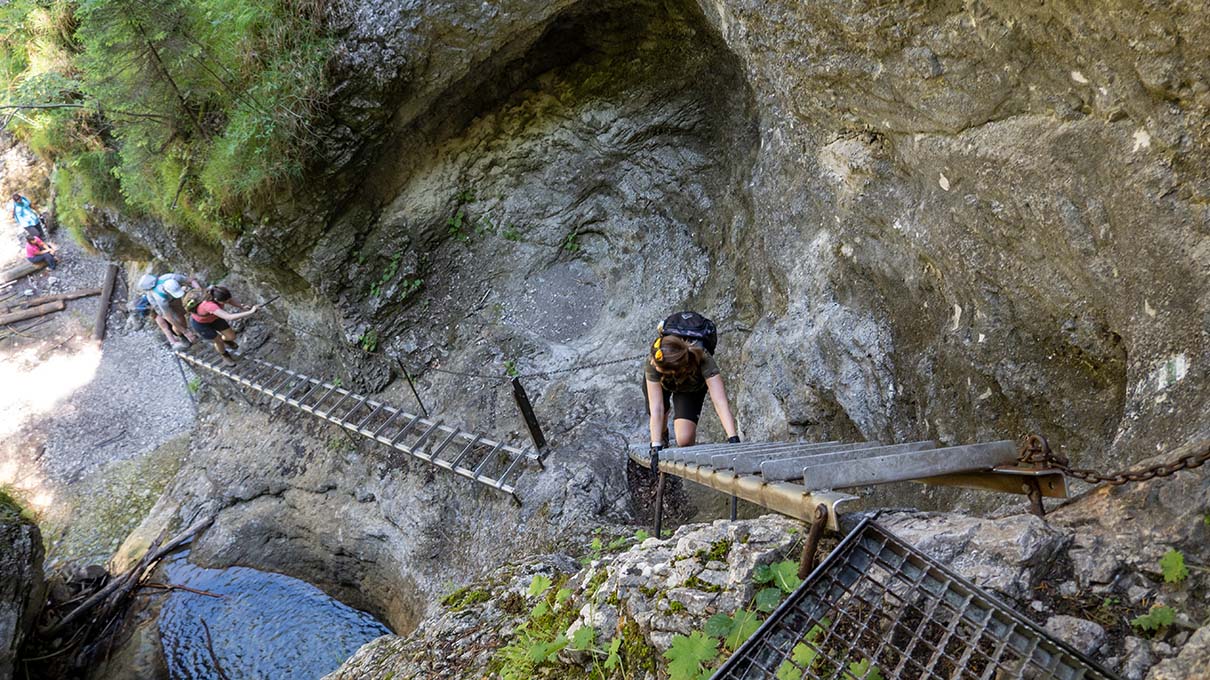
Hiking video and photography on the trail

We walk the whole route — we do not film from the car park.

01 · TRAILFull-route hiking videos

We walk the whole hike with the camera: trailhead, key points, viewpoints, destination. Viewers know in advance what to expect.

02 · KEY POINTSJunctions, trail markings, tricky sections

We separately capture what hikers want to see in advance: difficult sections, marking changes and the points where it is easy to go wrong.

03 · PHOTOPhotos for trail pages

Cover shot, route points, views and details — sized for trail pages, articles and social posts.

04 · EVENTHiking events, and stays with trails

Documenting endurance hikes, guided tours and team-building days, plus accommodation films that include the nearby trails.
SC 03 · CUT

Editing and video production

Raw footage becomes a clear story made for hikers.

01 · EDITEditing hiking videos

An easy-to-follow route film: slowed down at the key points, condensed on the monotonous stretches.

02 · SHORTShort videos: Reels, Shorts, TikTok

One hike becomes several short pieces — a view, a key section, a tip, the gear — a series you can post for weeks.

03 · MAPMap overlays in the video

Route line, elevation profile and distances on screen, so viewers always know where they are on the hike.

04 · LOOKA consistent visual style

Opening and closing frames, captions and colours in one style, on whichever channel the video appears.

SC 04 · ROUTE

Route plans and maps

We plan where the hike should go — and we draw the map too.

01 · PLANBuilding a route plan

Distance, elevation gain, walking time, difficulty, rest stops and shortcut options — tailored to the group and the season.

02 · MAPMap making

Embeddable interactive route maps, GPX tracks and elevation profiles for websites, trail pages or print.

03 · REGIONHiking ideas by region

For a given region — such as the Mátra, the Bükk, the Pilis or Slovak Paradise — we put together a set of routes at different difficulty levels.

04 · ADVICEHiking route consulting

We choose routes for events, team-building days or shoots based on scenery, difficulty, time needed and logistics.

SC 05 · BRAND

Graphics, branding and outdoor presence

So the hike is recognisable — from the poster to the post.

01 · LOGOLogos and branding for hiking programmes

Logos, colours and type for tour operators, hiking clubs and events — designed to work small, on a badge or a T-shirt too.

02 · GRAPHICHiking graphics

Hike posters, route cards, elevation graphics, infographics and social visuals in one style.

03 · ONLINEOutdoor online presence

Website, trail pages and social channels: we publish the content ourselves, scheduled and in the right format.

04 · WORDSRoute descriptions and articles

Route descriptions, gear tips, safety notes — accurate copy written for hikers.

SC 06 · AUDIT

Website and social media review

We look from the outside at what hikers see — and what they should be seeing.

01 · AUDITWebsite review

We walk the site the way a hiker would: can they find the trips, are distance, elevation, terrain, cost and the booking steps all there — and where do they get stuck.

02 · SOCIALSocial media review

What you post, how often, and which pieces actually brought enquiries. We also look at similar tour operators so you can see where the gaps are.

03 · REPORTA written verdict: strengths and gaps

Not generalities. Point by point we write down what works, what is missing, and what stops a visitor from booking.

04 · PLANPrioritised recommendations

Concrete tasks in order of impact: what to rewrite, what content is missing, what is worth photographing or filming. If you want, we do it too.

Sample · a guided-hiking website An extract from one review
Strengths
  • A personal introduction under a real name — you can see who leads the hike.
  • Detailed trip pages: distance, elevation, terrain, cost and the booking steps are all there.
  • The copy builds on experience, confidence and community.
Gaps
  • Only three current trips — little to choose from, and it can look as if hikes rarely run.
  • The blog shows categories, but there are no articles behind them.
Next step
  • Two to three announced dates a month, published in advance.
  • Four to six articles in the existing categories: route descriptions, gear, common questions.
  • Three to five original photos and one short video per trip.
Work

We did not just shoot it — we built the site too.

Turaprogramok.hu is entirely our work: from development through the trail videos to the articles. The cards below load from the site's own API.

Website build

Turaprogramok.hu

turaprogramok.hu ↗
Web development Trail video production Photography Data API

A trail database with GPX download, an interactive map search, reviews and our own video trail guides. We also wrote the endpoint that serves the structured trail data — it is what powers this page. The footer says it: Túraprogramok by Nawarr Media.

126 trails 10 countries 43 via ferratas 189 hiker reviews
Trail pages and map
Mátrafüred–Kékestető csúcstúraVerified
Nawarr — trail page build

Mátrafüred–Kékestető csúcstúra Magyarország tetejére

13,4 km5:25 óra657 mközépnehéz
1 651 views♥ 8★ 5
Suchá Belá szurdoktúraVerified
Nawarr — trail page build

Suchá Belá szurdoktúra – Szlovák Paradicsom

9,4 km3:23 óra404 mnehéz
375 views♥ 10★ 5
Jankovac-völgy Grófi tanösvényVerified
Nawarr — trail page build

Jankovac-völgy - Grófi tanösvény

2,3 km1:03 óra158 mkönnyű
1 622 views♥ 14★ 4,7
Nawarr — map integrationMegálláshoz vidd rá az egeret

Interactive route maps

Mátrafüred–Kékestető csúcstúra Magyarország tetejéreközépnehéz · 13,4 km · 5:25 óra · 657 m
Suchá Belá szurdoktúra – Szlovák Paradicsomnehéz · 9,4 km · 3:23 óra · 404 m
Jankovac-völgy - Grófi tanösvénykönnyű · 2,3 km · 1:03 óra · 158 m
Mátrafüred–Kékestető csúcstúra Magyarország tetejéreközépnehéz · 13,4 km · 5:25 óra · 657 m
Suchá Belá szurdoktúra – Szlovák Paradicsomnehéz · 9,4 km · 3:23 óra · 404 m
Jankovac-völgy - Grófi tanösvénykönnyű · 2,3 km · 1:03 óra · 158 m
MapyElevationRoute
Trail filming
Live data from the tp/v1/tura endpoint

Túranavigátor

turanavigator.hu ↗
Article engine Copywriting Content plan

A standalone article site with its own data endpoint: guides, gear advice and safety material organised by topic. The long, data-rich articles — with prices, timetables, tables and interactive maps — are produced by us, from research to publication.

Article writing
Live data: turanavigator.hu — turanavigator/v1/articles

Hiking graphics

Route card Hike poster Elevation profile

Sample: a route card and a hike poster for the Mátrafüred–Kékestető summit hike. Trail-page covers, social posts or printed flyers can follow the same style.

Route card · Mátra Mátrafüred – Kékestető
13,4km657m gain5:25hrs1014m peak
Moderate · turaprogramok.hu
Mátra · summit hike Kékestető To the top of Hungary 13.4 km · 657 m · 5:25 hrs Nawarr Media
Sample — the elevation profile is illustrative
About

Most videographers hand over a folder. That is not where we stop.

Content is only worth something if hikers can find it and use it. So after the shoot we also handle the edit, the map, the route plan, the graphics and the publishing — the harder half does not land on the client.

We are hikers, not just camera operators. We walk the whole route, we know the regions of Hungary and the neighbouring countries, and we keep filming when it starts to rain — because that is usually where the good shot comes from.

Hiking video Editing Photography Route plans Maps Graphics Logo Social media Review
Who we work with

For those whose location is the product.

Tour operators, hiking guidesGuided hikes, clubs, outdoor programmes
AccommodationsApartments, guesthouses, hiker-friendly stays
Tourist attractionsNational parks, lookouts, nature trails, tourism offices
Hiking eventsEndurance hikes, trail runs, team-building days
Outdoor brandsGear shops, outdoor product films
How we work

Four steps from idea to published content.

Step one

Briefing

We go through the hike or the region, the audience and where the material will appear.

Step two

On the trail

If needed we make a route plan and a map first, then walk and film the route.

Step three

Post-production

Editing, map overlays, graphics and copy — in a separate format for every channel.

Step four

Publishing

We publish to the website and the social channels, on a schedule.

Contact

Show us the location — we will handle the rest.

Tell us which hike, region, accommodation or event it is, and we will send a concrete quote within two working days.

Or directly: info@nawarr.hu